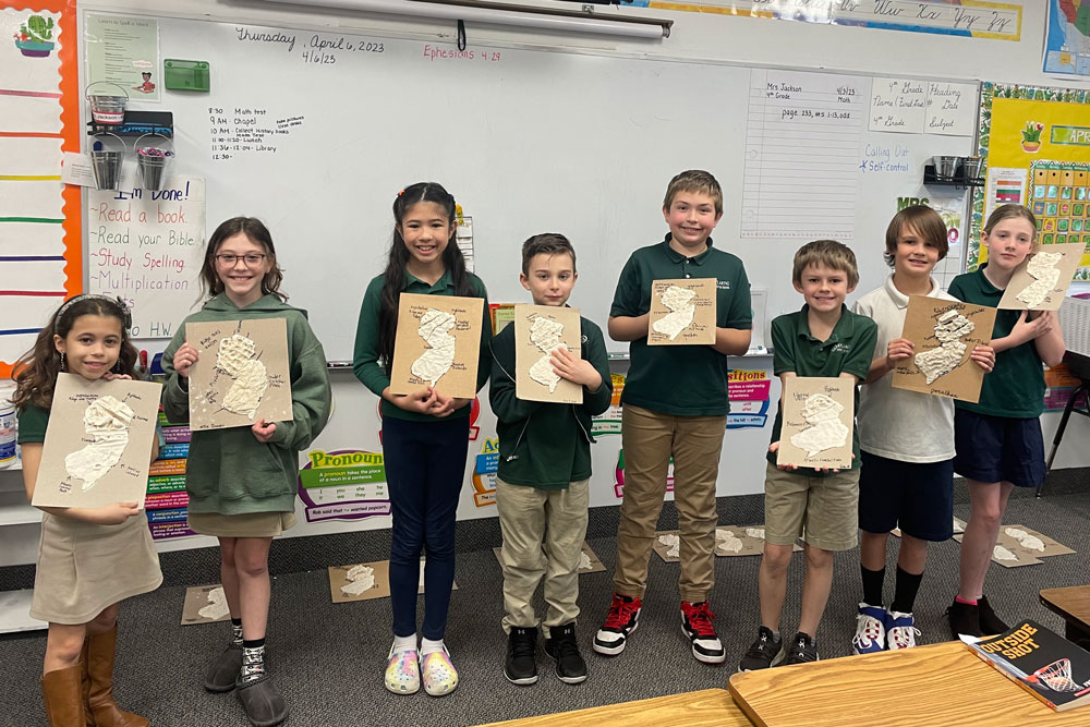
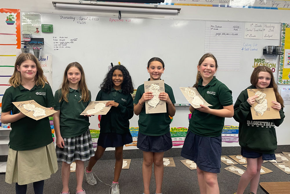
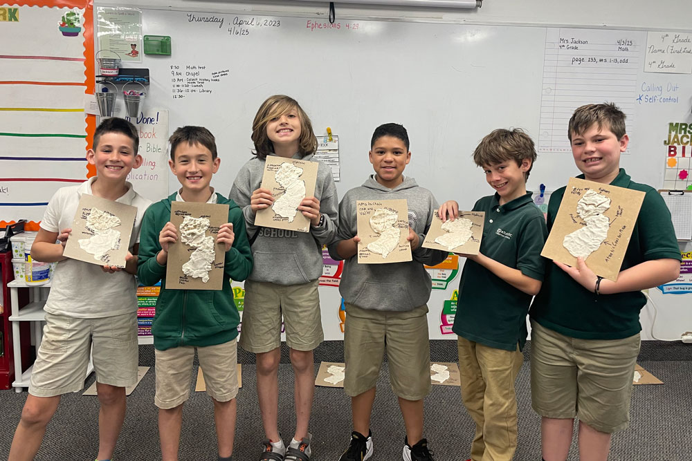
 Students in Mrs. Jackson’s 4th grade class recently created salt relief maps of New Jersey as part of their focus in history class on learning about the state’s history, culture, climate, wildlife, topography, and other important information.
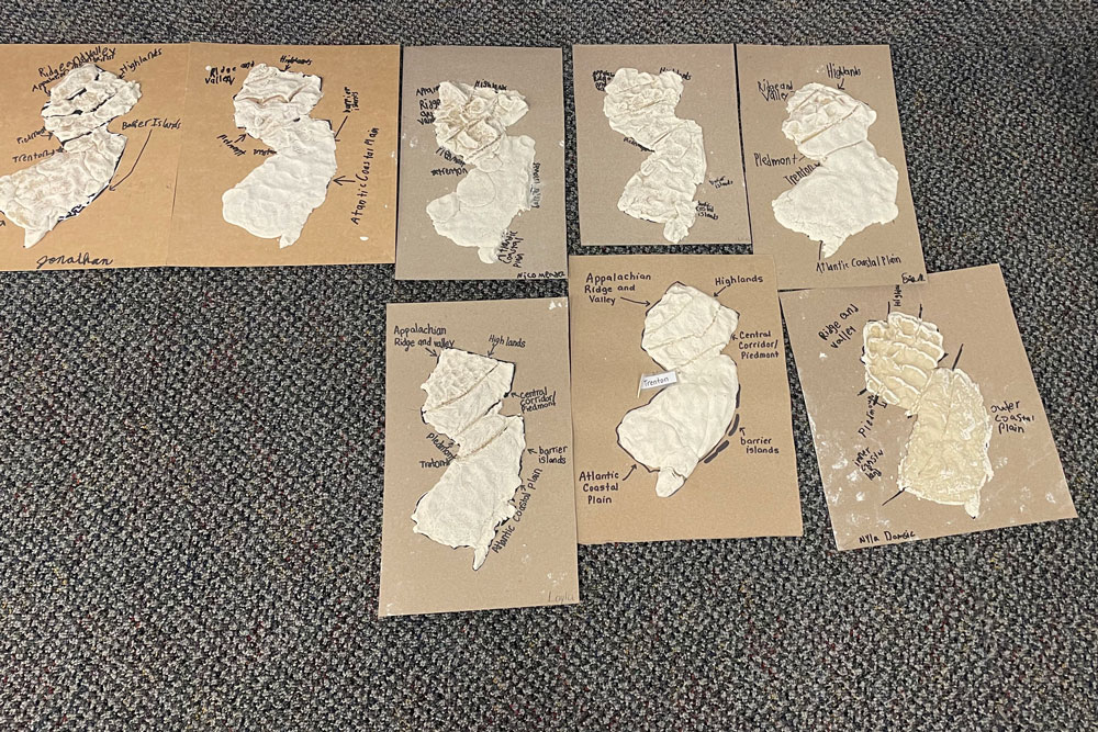
In late April, the students shaped dough into the form of the Garden State and then labeled the state’s four regions — the Appalachian Ridge and Valley, the Highlands, the Central Corridor/Piedmont, and the Atlantic Coastal Plain. The students also labeled the location of the state capital in Trenton and the barrier islands.
“This hands-on project was a great way for our students to take some of the facts about our state and make it something they could visualize and more easily remember,” said Mrs. Jackson. “And they had a lot of fun doing it as well.” The students in Mr. Tardif’s 4th grade class also had the opportunity to do this project.